Kavel 829
829
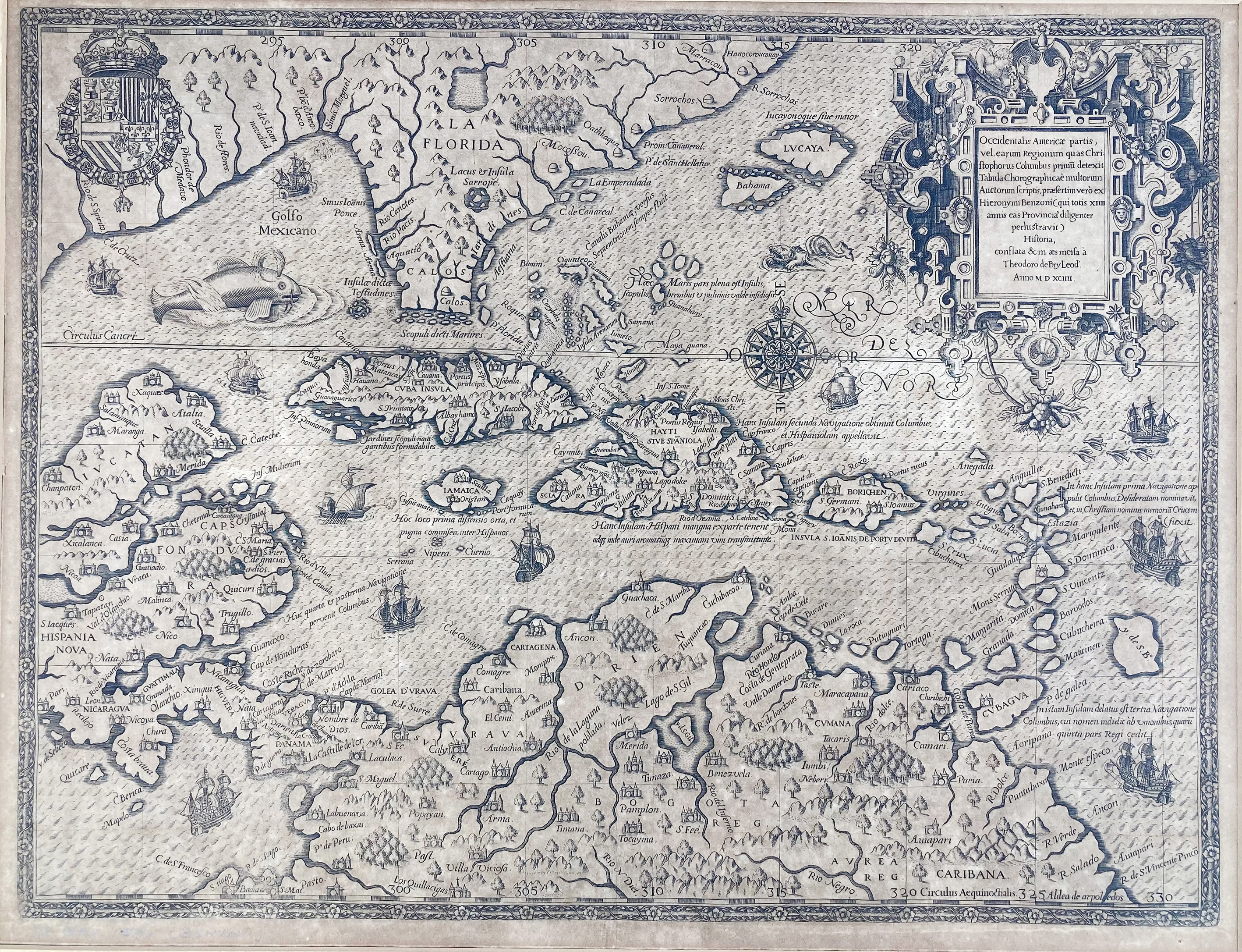
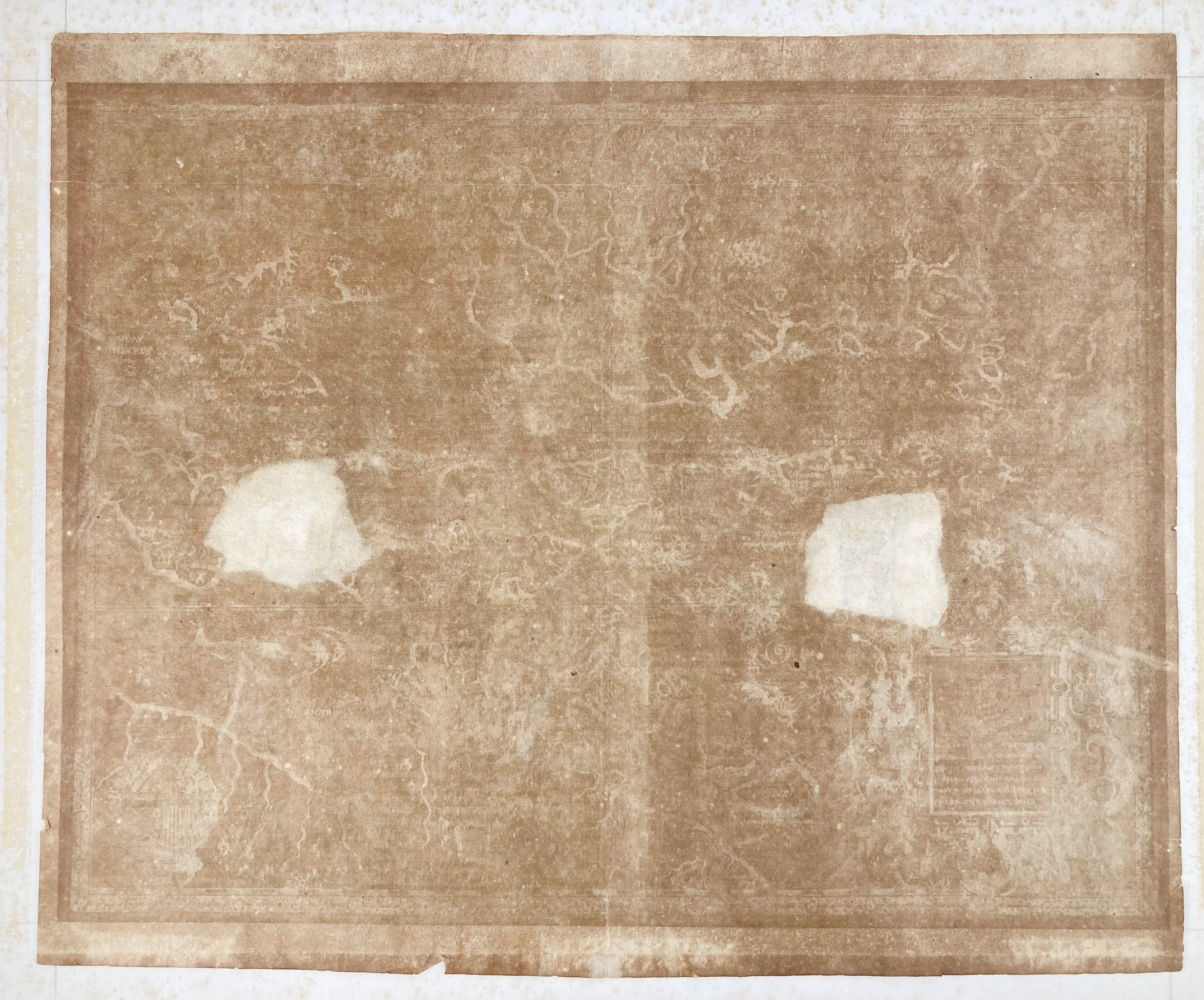
WEST INDIES -- "OCCIDENTALIS AMERICAE PARTIS, vel, earum Regionum quas Christophorus Columbus primu[m] detexit (…)". (Frankfurt a/M.), Th. de Bry, 1594. Engr. map of the West Indies w. compass rose, coat of arms, large title cartouche, sea animals, ships, etc. 331 x 435 mm (image size). (Connected to old passepartout along upper margin, severely browned, splits in margins (however not into image), 2 repairs on v° which show as white 'patches' (on the v° side), in need of restoration).
Created to accompany Girolamo Benzoni's account of his travels in the Caribbean between 1541 and 1556. The account appeared in the fourth volume of De Bry's Grands Voyages. - Church I, p. 350 (n° 153). - Sold w.a.f., not subject to return.€ 4000
uitslag € 4600
Terug

